the Shade
又是很久没来更新,以至于kikitamap.com这个域名因为没有续费而已经停用接近两周;要不是今晚忽然想写点什么,还不知道什么时候我才能发现。
工作结束了,宝贝睡下了,每到接近12点,似乎属于我自己的完整时间才开始展开。所以,我的母亲总是不解,为什么终于到了你的休息时间,反而又要”熬夜“ ?事情不能明天做吗? 我总是无言以对,我这种矫情的时间独占需求,估计她不会理解,只好安抚她说马上就睡。大概,也不是所有人都有与自己独处的强需求。
我喜欢拍照,拍各种自认为有趣的东西,因此手机空间经常告急,只好翻一翻,删除一些不喜欢的或是没有什么内容的。忽然发现了这张很久前拍的。
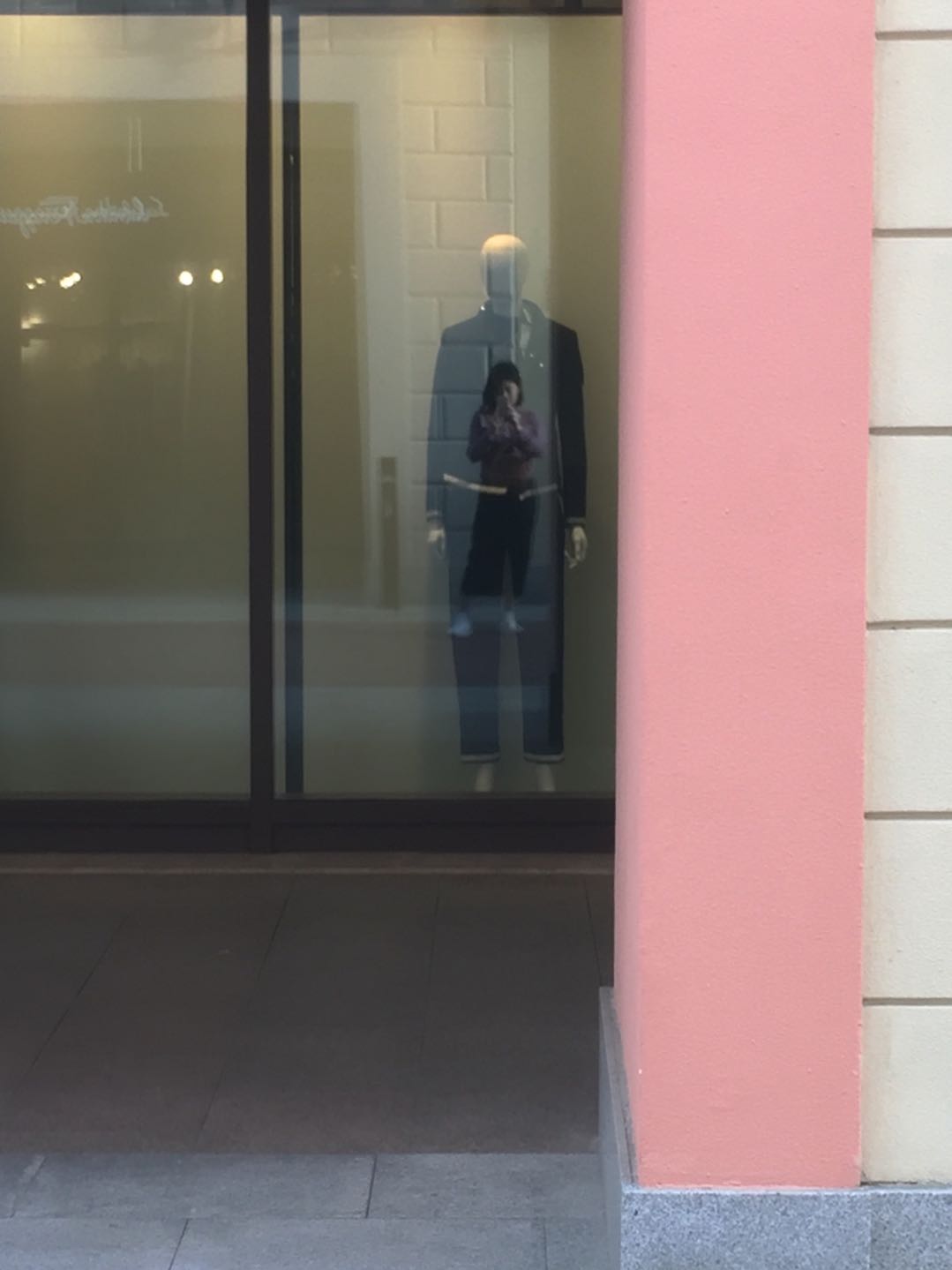
当时的场景是我在等人,刚好从站的位置,看到自己的影子叠在橱窗里的模特身上,感觉很有点意思,就顺手拍了下来。世间熙熙攘攘,我们大多数都是追寻成为模特壳子的样子;住在壳子里面的人的样子呢?ta们是同一个吗?