Dormant Wonders —— Exploring Yellowstone and Kamchatka with ArcGIS Earth
Besides the lava-spewing volcanoes we often see in the news and the underwater volcanoes introduced in the previous article, there are also dormant volcanoes hidden beneath the surface. Their heat erupts as geysers and hot springs.
06 Yellowstone
Let’s shift our focus to Yellowstone National Park in the United States. This is a dormant volcano where magma still flows underground. The heated groundwater boils, creating geysers. In some areas, water and sediments mix to form boiling mud.
This heat provides food for animals. The film features a battle between coyotes and otters, and you might come to admire the “cool-under-fire” otter after watching it.
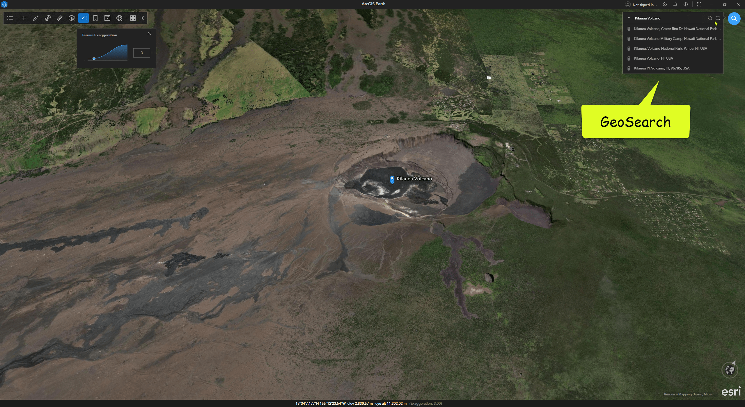
In ArcGIS Earth, search for Yellowstone in the top-right corner to locate the park in the heart of North America.
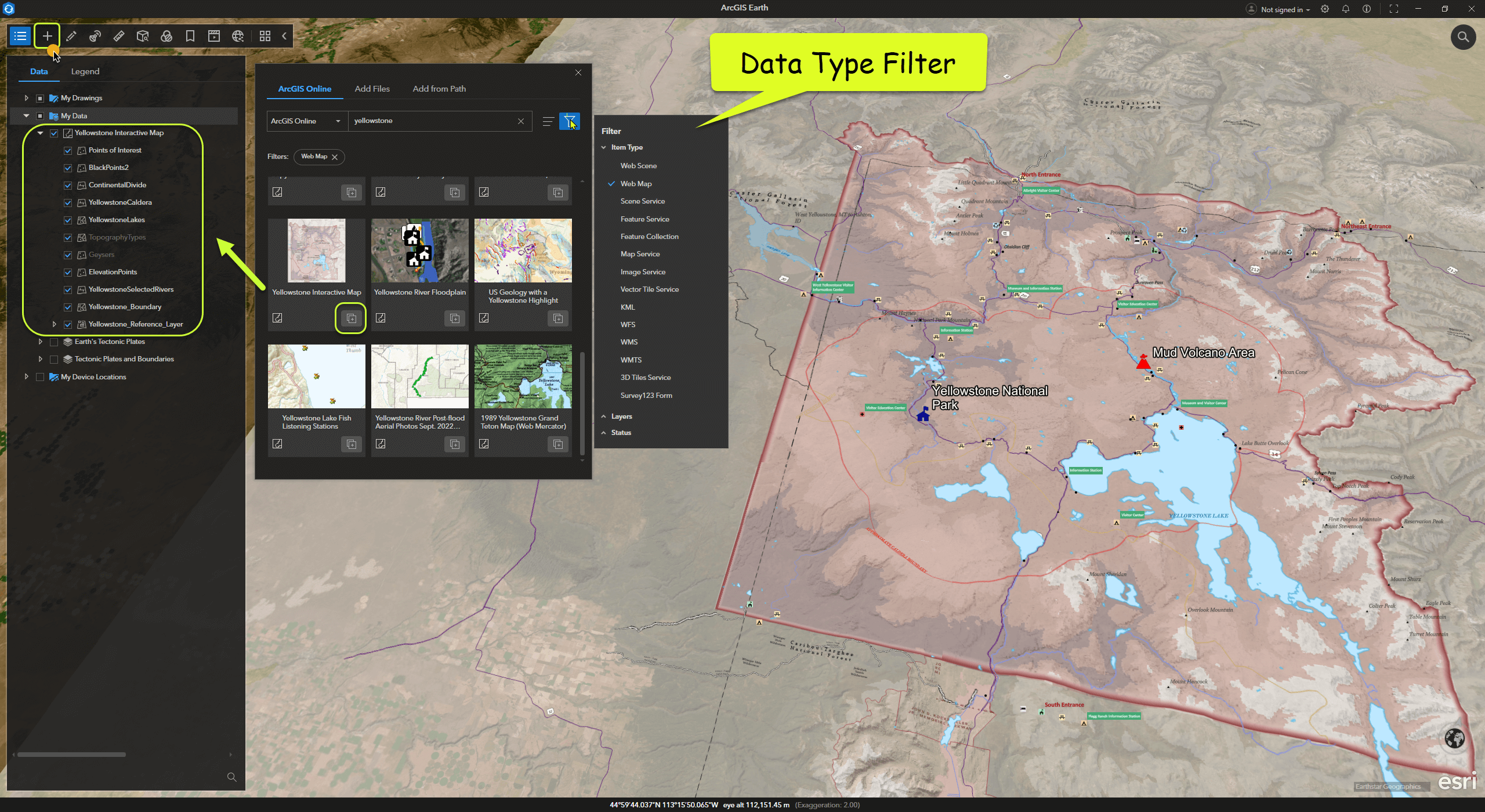
ArcGIS Online and Living Atlas offer a wealth of global open geographic data. These resources can be easily accessed in ArcGIS Earth. Click “Add Data” from the toolbar and search for Yellowstone to find many related datasets.
For instance, you can add a Web Map dataset like “Yellowstone Interactive Map” to explore the park’s boundaries and details.
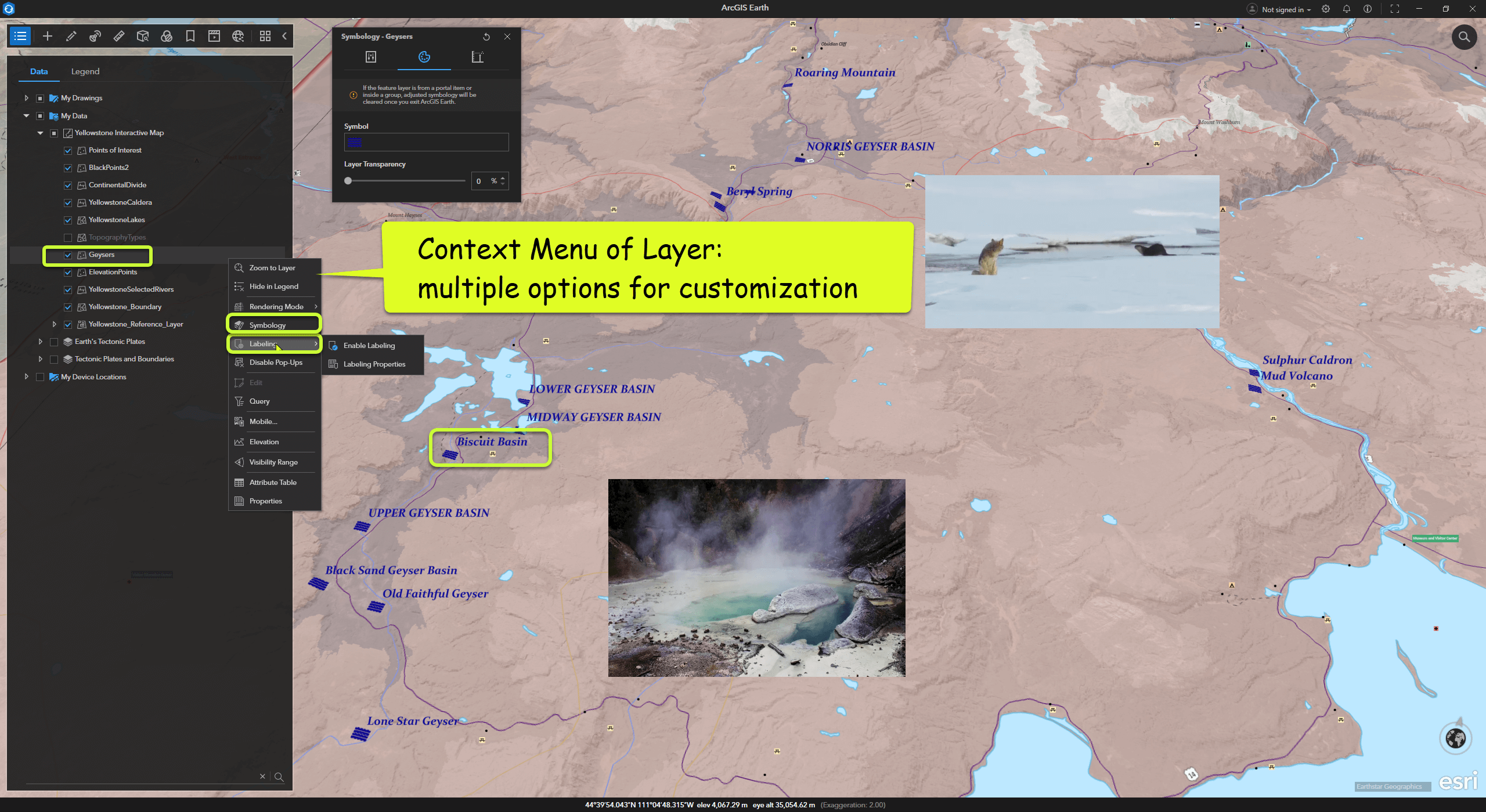
In ArcGIS Earth’s Table of Contents, each layer has a right-click menu with many configurable options, such as symbols, labels, and attribute information. Users can experiment with their map styles as needed.
