Testing Report for Image Service
An image service of ArcGIS Server provides access to raster data through a web service. ArcGIS Image Server is required to share a mosaic dataset. This testing reporting indicates workflows and issues of sharing Image Service which is basing on a mosaic dataset referencing the raster dataset on a cloud storage.
Local Testing Environment
- Latest Esri Technologies
- ArcMap 10.6.1 ( both final release version and early adopter version)
- ArcGIS Enterprise 10.6.1 with ArcGIS Image Server 10.6.1
- Windows 10 Pro 64 bit English Version
Huawei Cloud
Steps
Create Huawei Cloud connection file (√)
![]()
Add raster to a local mosaic dataset referencing the connection file (√)
![]()
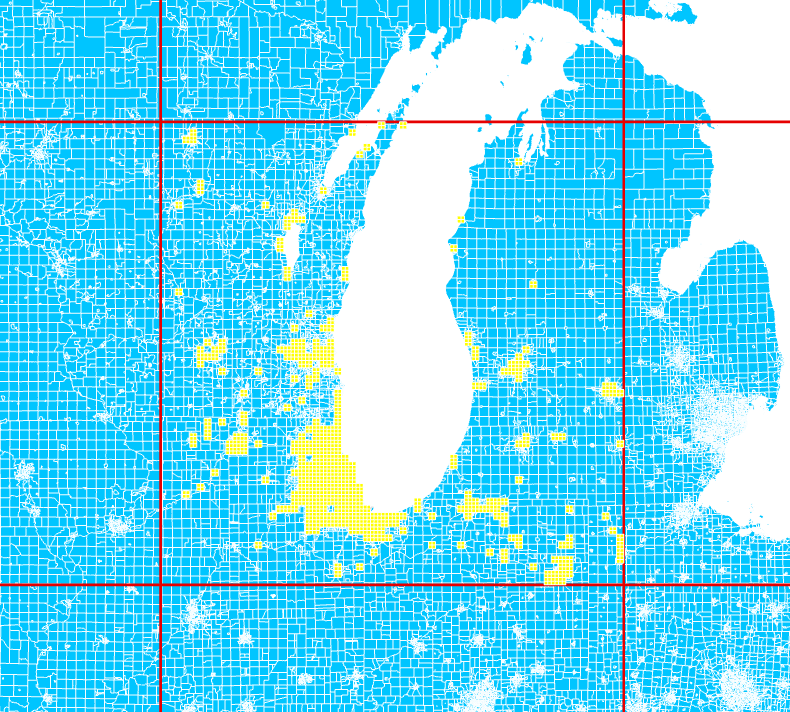
Share the mosaic dataset as an image service (√)
![]()
![]()
![]()
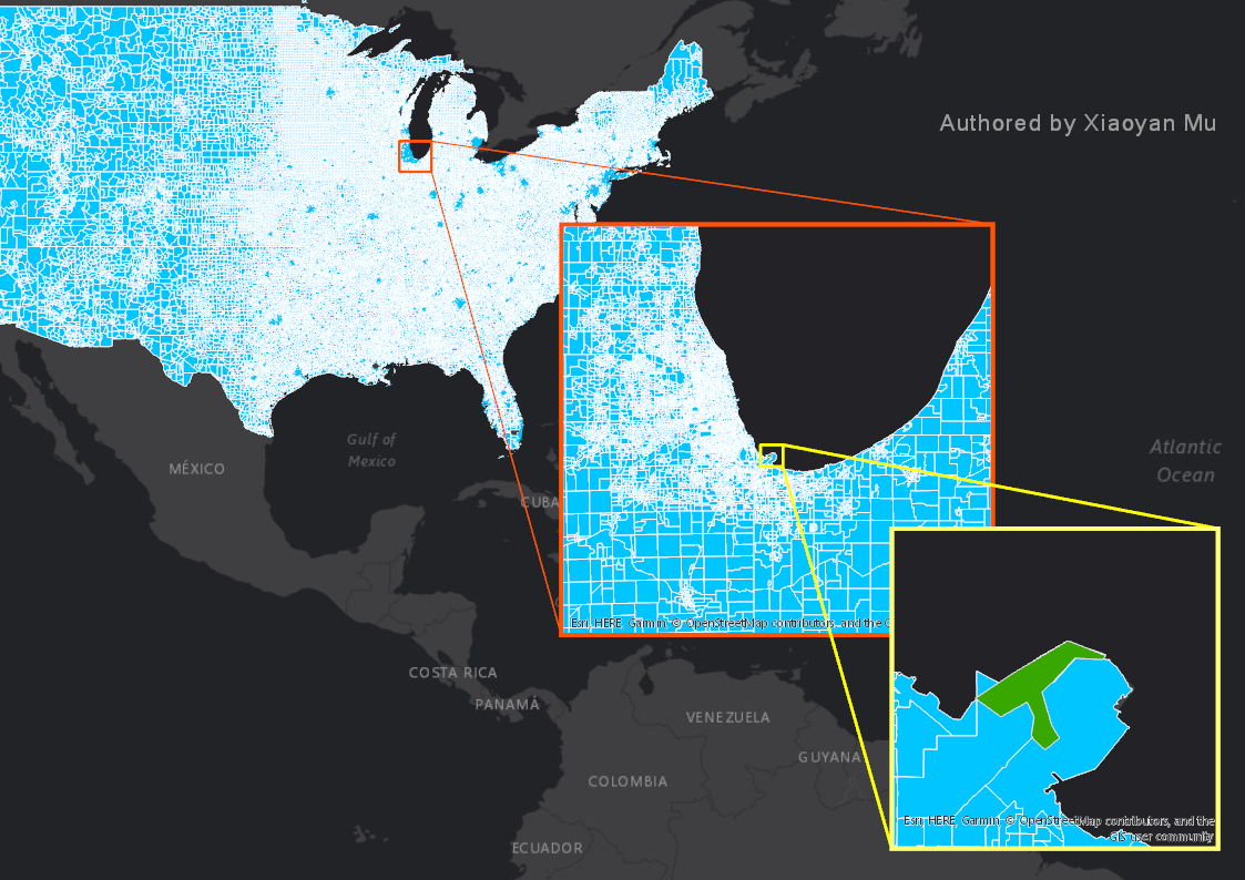
Consume this service in various client browsers (√)
![]()
![]()
![]()


Alibaba Cloud
Steps
- Create Huawei Cloud connection file (√)
- Add raster to a local mosaic dataset referencing the connection file (√)
- Share the mosaic dataset as an image service (√)
- Consume this service in various client browsers (×)
Explanation